


20210405 la motte le golf

Sugg
User
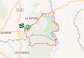

Length
8.8 km

Max alt
77 m

Uphill gradient
114 m
Km-Effort
10.3 km

Min alt
19 m

Downhill gradient
118 m
Boucle
Yes
Creation date :
2021-04-05 09:03:38.652
Updated on :
2021-04-05 13:16:17.939
3h11
Difficulty : Medium

FREE GPS app for hiking
 SityTrail
IGN / Geographical institutes
SityTrail Plus
The world is yours!
About
Trail Walking of 8.8 km to be discovered at Provence-Alpes-Côte d'Azur, Var, La Motte. This trail is proposed by Sugg.
Description
balade des Amis et pic nic au bord du lac de l'Endre
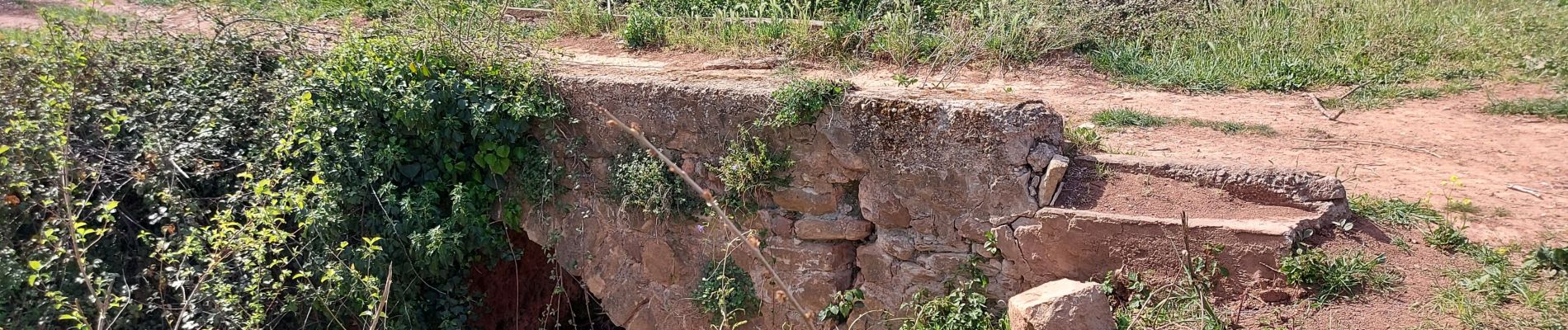
Photos


Positioning
Country:
France
Region :
Provence-Alpes-Côte d'Azur
Department/Province :
Var
Municipality :
La Motte
Location:
Unknown
Start:(Dec)
Start:(UTM)
303505 ; 4818396 (32T) N.
Comments